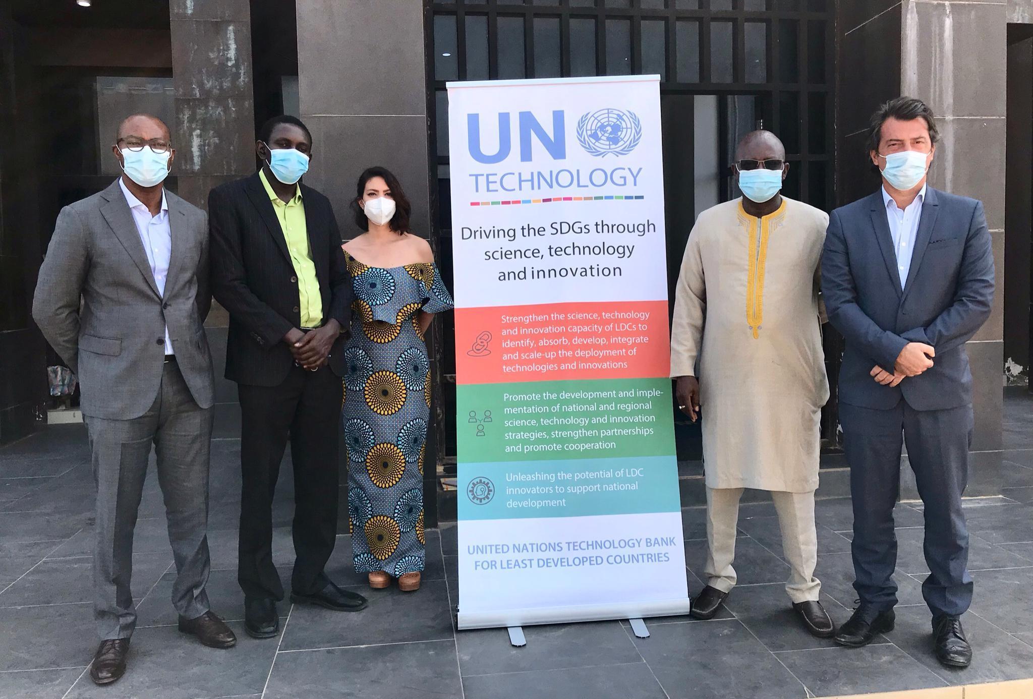
UNOSAT delivered a week-long training course in Serrekunda, The Gambia, from October 26 to 30, focusing on Earth Observation (EO) and Geospatial Information Technologies (GIT) applications. The Ministry of Higher Education, Research, Science and Technology (MoHERST) hosted the initiative, providing the venue and local coordination for this significant capacity-building effort. Twenty-one participants from various government ministries, institutions, and the University of Gambia attended the face-to-face sessions, which adhered strictly to official COVID-19 prevention measures applicable in The Gambia, ensuring a safe learning environment. The training forms part of the "Technology Intensive Capacity Building Programme for targeted Least Developed Countries," a joint project between UNITAR and the UN Technology Bank for Least Developed Countries, specifically designed to empower nations with advanced technological skills for sustainable development. This full program shows a commitment to fostering technological self-reliance and enhancing resilience in vulnerable regions.
Addressing Climate Vulnerabilities
The Gambia's geographical location exposes the country to significant climate-related hazards, including recurring droughts and devastating floods. These climate events represent the biggest threat to The Gambia’s agricultural sector, a cornerstone of the national economy and a primary source of livelihood for a large portion of the population. The impacts are broad, directly affecting agricultural assets, livestock, vital infrastructure, and critically, food security across the nation. The reliance on agriculture for livelihoods shows the critical need for strong disaster resilience strategies to mitigate the effects of environmental changes across the nation. Addressing these vulnerabilities requires coordinated efforts from key national stakeholders to develop and implement effective mitigation and adaptation measures. These essential stakeholders include the National Disaster Management Agency, which plays a central role in coordinating responses; the Ministry of Environment, Climate Change & Natural Resources, responsible for policy and environmental protection; the National Environment Agency, focused on environmental management; and the Ministry of Higher Education, Research, Science and Technology (MoHERST), which champions scientific research and technological advancement. Their collaborative engagement is key for building a resilient future for The Gambia.
Training Content and Objectives
Participants in the training program engaged deeply with Geospatial Information Technologies (GIT) applications, which are specifically designed to enhance operational planning and decision-making in disaster risk reduction (DRR). The curriculum was meticulously structured, utilizing a combination of enlightening lectures that provided theoretical foundations, interactive round table discussions that fostered collaborative problem-solving, and practical laboratory exercises that allowed for hands-on application of concepts. Throughout the sessions, participants explored how GIT offers critical guidance for emergency responses, enabling swift and informed actions during crises, and facilitates effective post-disaster monitoring, particularly concerning the prevalent challenges of floods and droughts. This practical approach ensured that the acquired knowledge was directly applicable to real-world scenarios faced by The Gambia.
A significant and culminating component of the training involved a final Geographic Information System (GIS) assignment. This practical exercise required participants to apply their newly acquired skills and understanding to conduct in-depth drought and rainfall analysis, reinforcing their comprehension of complex real-world disaster scenarios and their ability to extract actionable insights from geospatial data. Luca Dell'Oro, a Senior Programme Specialist at UNOSAT, delivered insightful presentations on key trends in Earth Observation (EO) and Geospatial Technologies. His contributions provided participants with invaluable insights into the latest advancements, advanced methodologies, and emerging applications in the field, further enriching the program's technical scope and preparing attendees for future innovations. The full approach aimed to equip attendees with the necessary tools to leverage geospatial data effectively for national resilience strategies, enabling them to contribute significantly to their respective organizations and the country's overall disaster preparedness.
Broader Impact and Future Steps
The training explicitly aimed to support operational planning and decision-making for Disaster Risk Reduction (DRR) and climate resilience within The Gambia, building a stronger foundation for future interventions. Mr. Moshe Kao, Programme Management Consultant, representing Mr. Joshua Setipa, noted the profound significance of these technologies in the context of national development and disaster management. Mr. Kao stated that Geospatial Information Technologies (GIT) provide an invaluable opportunity for policy and decision-makers to respond timeously to disaster risk assessment, enabling proactive planning, facilitating effective mitigation efforts to reduce potential harm, and supporting key adaptation strategies to climate change. UNOSAT provided technical backstopping activities both during and after the training sessions, offering continuous support and guidance to participants. This ongoing support aims to promote sustainable knowledge transfer among the participants and their respective organizations, ensuring that the skills and insights gained are integrated into daily operations and long-term planning. Furthering these efforts, an awareness-raising workshop was conducted on Monday, November 2. The workshop focused on the utility of Geospatial Information Technology applications for sustainable development initiatives in the country, broadening the understanding of GIT's potential beyond disaster management to encompass a wider range of developmental goals.